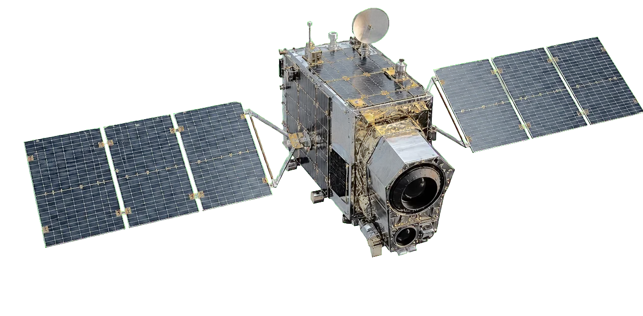
Skip manual provider hunting
Search availability from one workflow instead of opening separate catalogues, comparing dates, and copying product metadata by hand.
 Opening REACH Hub
Preparing your geospatial workspace
Loading workspace
Preparing account data...
Opening REACH Hub
Preparing your geospatial workspace
Loading workspace
Preparing account data...
REACH Hub connects collaborative geospatial intelligence with satellite operations powered by Lucida, Twinp’s proprietary acquisition and processing engine.

REACH Hub turns map interaction into persistent project memory. Operators can define a point, bbox or shared hex grid tile, then recover the same markers, tile names and products later from their account.
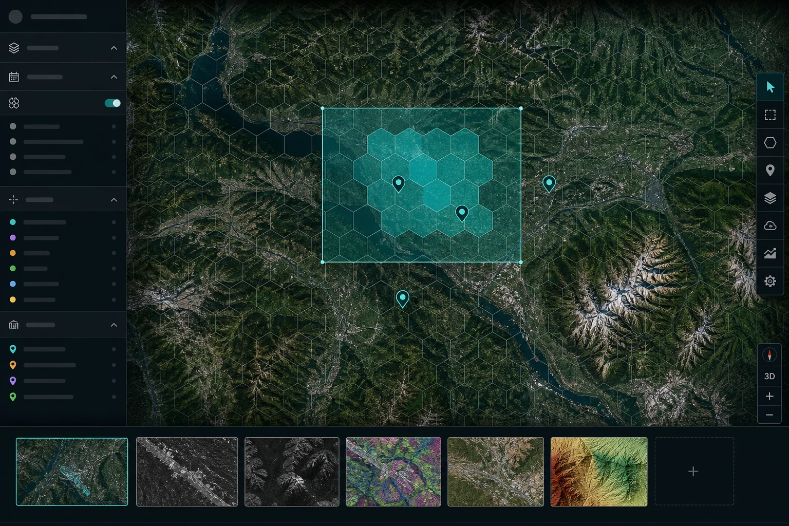
Search availability from one workflow instead of opening separate catalogues, comparing dates, and copying product metadata by hand.
Keep radar, optical, DEM and context layers clipped to the same footprint so they are easier to compare, archive and reuse.
Keep markers, tiles, temporal coverage, jobs and exports attached to the account instead of losing context inside local folders.
The proprietary Lucida engine supports an expandable acquisition workflow. Current operations can cover the sources below, and additional sensors and providers are planned as the service grows.
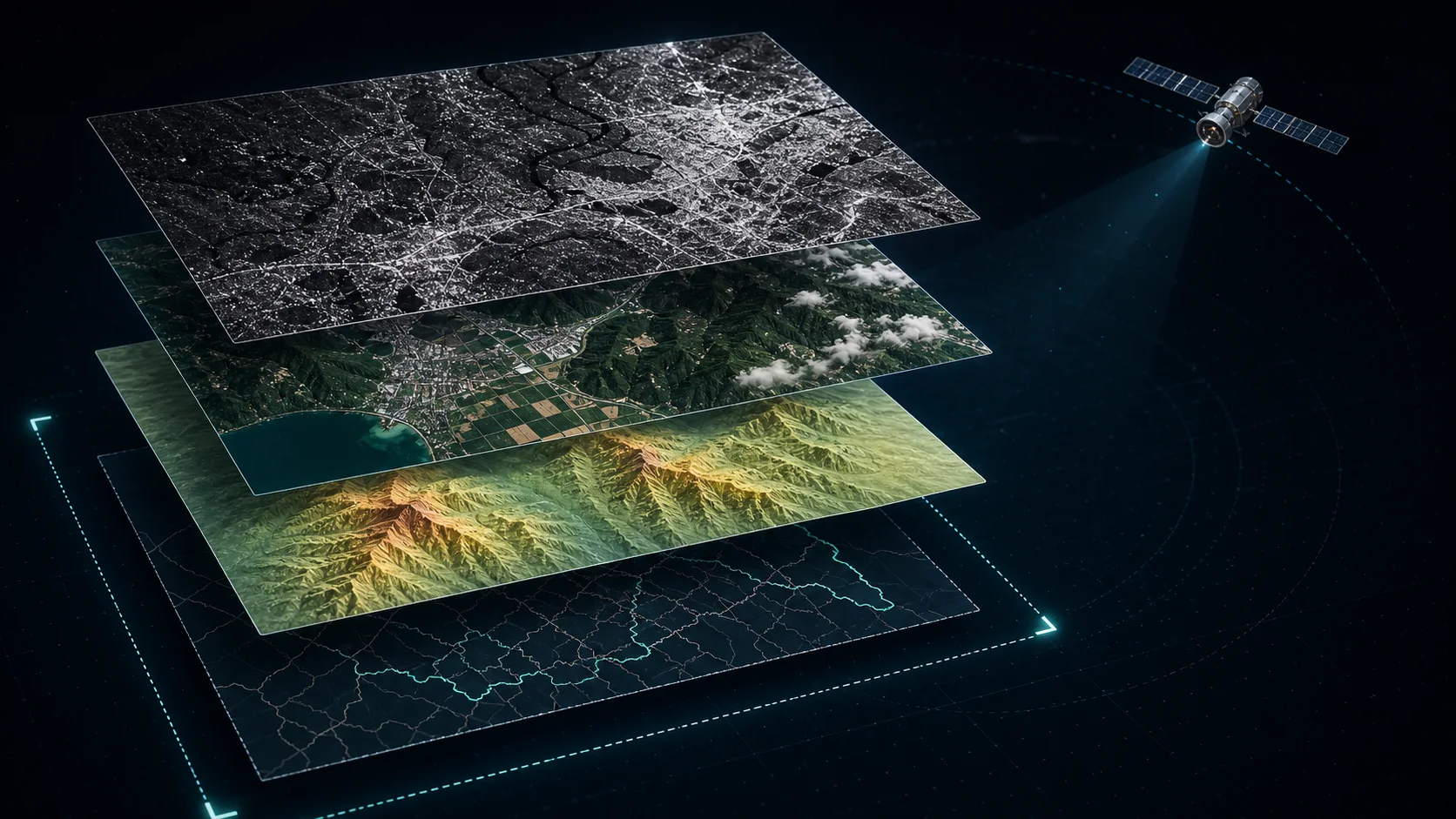
Subset outputs keep source metadata while pointing to the generated local files. Teams can inspect image dates, orbit direction, frame, angle and the files available inside each subset.
Lucida, Twinp’s proprietary engine, connects acquisition, transformation, analysis and delivery for repeated satellite data operations inside REACH Hub.
Track consistent imagery over the same footprint across time.
Combine radar, DEM and contextual layers around named targets.
Centralize requests, outputs and exports instead of scattering files across folders.
The proprietary Lucida engine is designed to evolve beyond acquisition into analysis-ready enhancement and detection workflows over consistent multi-sensor, multi-temporal image stacks.
Sign in to recover your tiles, markers, jobs and exports in the REACH Hub environment used to centralize radar, optical and supporting geospatial layers.
Each login opens a private operational space. Users only see the tiles, points, jobs and exports attached to their own REACH Hub session.
REACHIntelligence hub
Every generated product owned by this account, independently from tiles currently displayed on the map.
| Product | Tile | Sensor | Date | Direction | Projects | Tokens | Size | |
|---|---|---|---|---|---|---|---|---|
| Open Library to load the account inventory. | ||||||||
Manage tiles currently attached to projects and visible on the map. Removing a tile keeps its products in Library.
| Name | Tile | Country | Products | Sensors | Points | Last run |
|---|
| Sensor | Image date | Direction | Orbit | Frame | Angle | Product | Size | Details |
|---|
Follow active processing, sensor progress and recent acquisition history.
Manage persistent project contexts, tiles, markers and acquisition history.
Connect with Lucida members, continue conversations and exchange project geometry from one shared community.
Connection requests must be accepted before private exchanges are enabled.
Review files, complete tiles and projects before starting delivery.
Advanced processing tools enabled for the current account.
Filter compatible source images, then select complete monthly radar pairs or optical images.
The export starts only after confirmation.
Lucida centralizes acquisition requests and session tracking for authorized users.
Restart the onboarding whenever you need it. Tours explain the interface but never launch a job, approve a plan, consume tokens or delete data.
Lucida centralizes satellite acquisition planning, tile-based products, job tracking and project history. The current candidate prepares immutable plans first; provider discovery, processing and export remain separate approval-gated operations.
Depending on the selected sensors and workflow, Lucida can use datasets or services provided by ASF / NASA Earthdata, Google Earth Engine, Copernicus / Copernicus Data Space Ecosystem, JAXA, OpenStreetMap-derived layers, DEM providers and other geospatial data sources.
Availability, licensing, access credentials, latency, processing delays, cloud cover, orbital coverage and product quality depend on the upstream provider. A prepared plan is not an availability result or a guarantee that products can be downloaded or processed.
REACH Hub and the Lucida acquisition and processing engine are developed and owned by Twinp. Source datasets remain subject to their respective provider terms, attribution requirements, redistribution limits and copyright notices. Lucida is not a replacement for official provider documentation or licensing rules.
Generated products and previews must be validated before scientific, operational, legal or safety-critical decisions. Users are responsible for ensuring that exported data is used according to the applicable upstream terms.